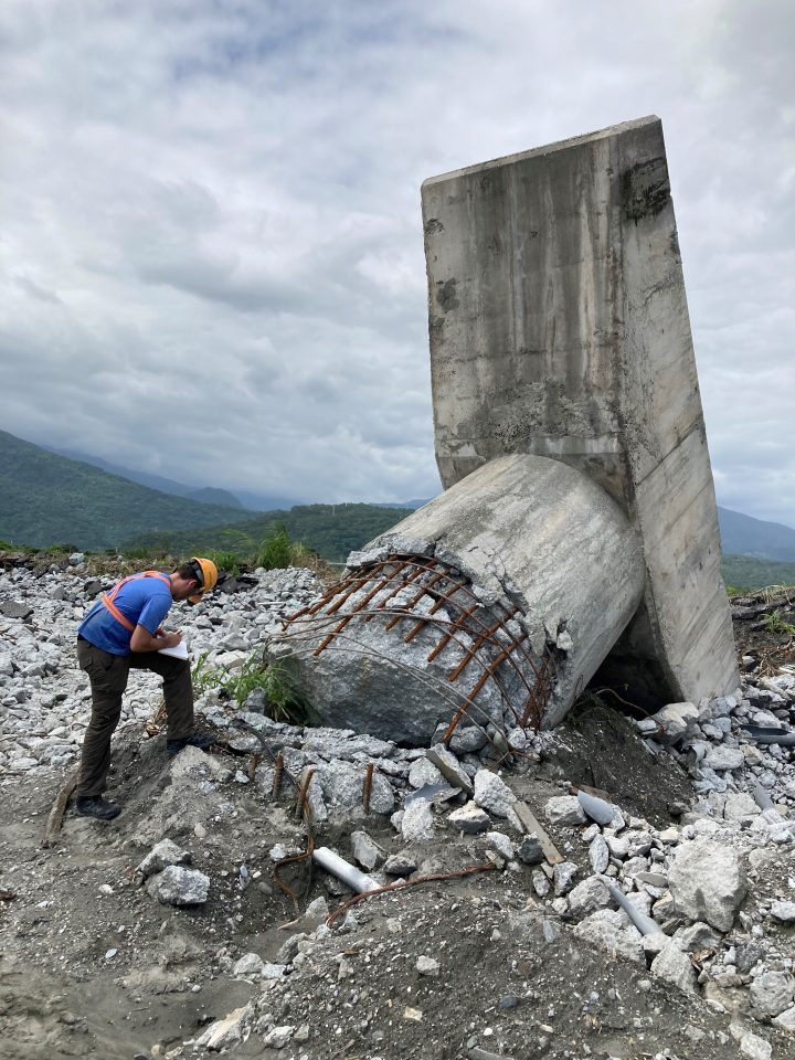
When major earthquakes strike, teams of researchers and practitioners quickly move to the affected region to understand what caused the damage. Their goal is to document the damage and create detailed case history reports for advancing research.
In geotechnical engineering, these reports are foundational to design procedures, with the long-term goal of gaining insight to lessen the impacts on communities from future earthquakes.

Assistant Professor Trevor Carey recently joined a team that traveled to Hualien County in Southeastern Taiwan to study the impact of the September 2022 Taitung earthquakes. The team was part of the Geotechnical Extreme Events Reconnaissance (GEER) program, funded by the U.S. National Science Foundation (NSF).
Their mission was to document the damage caused by the earthquake sequence and understand the earthquake demands that produced it.
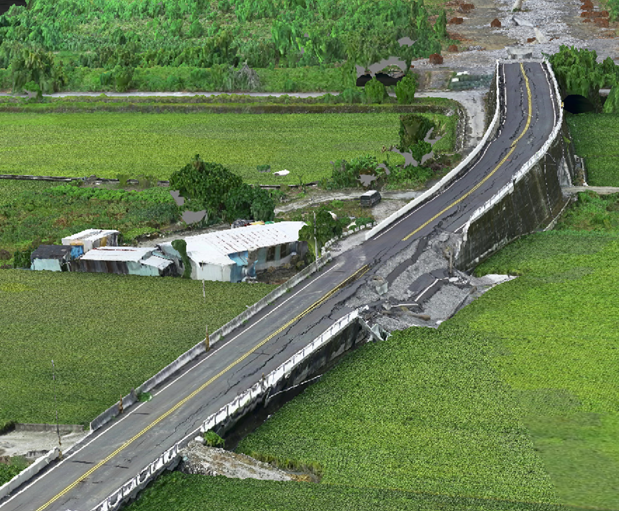
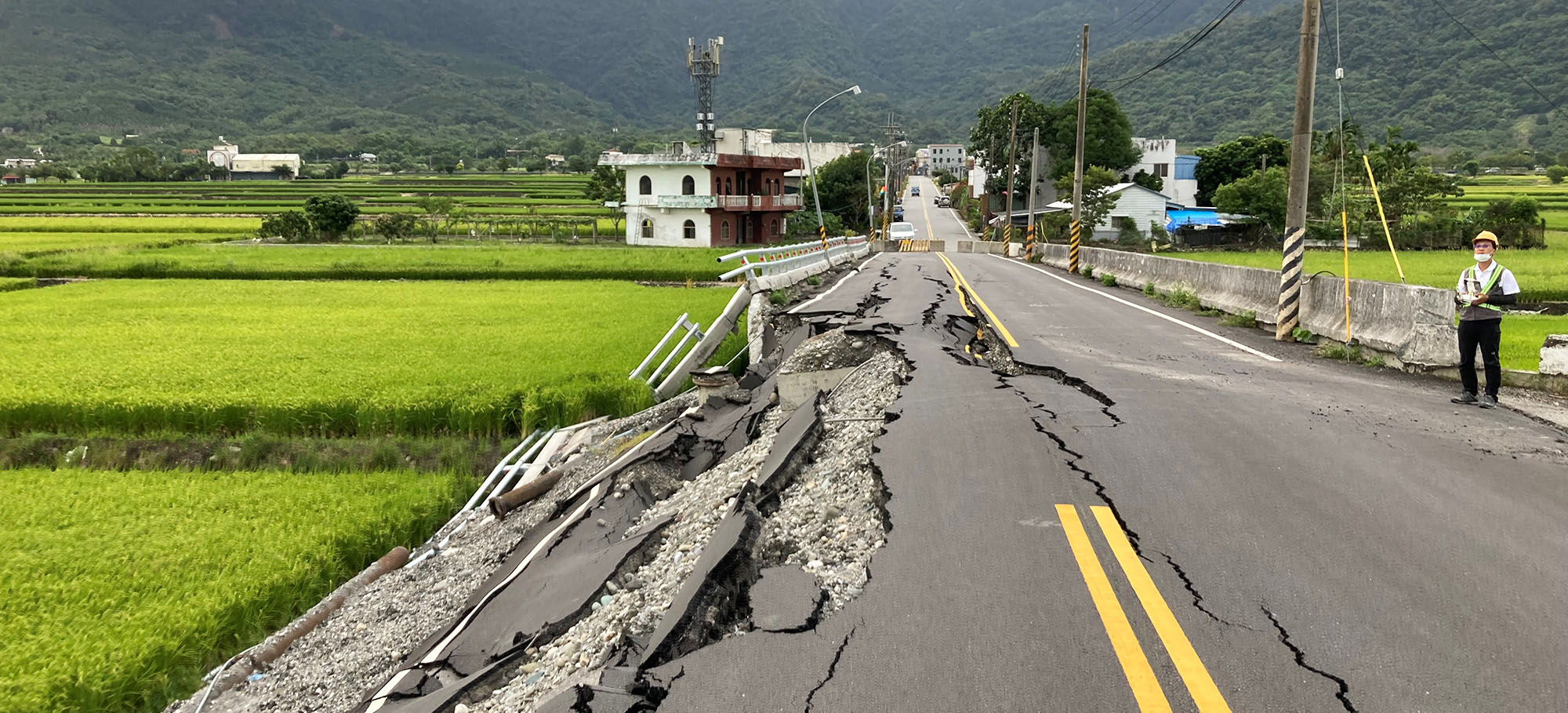
Dr. Carey and the other GEER team members surveyed the region, looking for surface fault rupture and infrastructure damage, particularly bridge failures. While case histories of damage are crucial, conditions where damage did not occur when it was expected are also important for advancing resilience and reducing the impacts of future earthquakes.

The research team used a variety of methods to document the damage caused by the earthquake, including taking photos, making detailed measurements, and connecting with local communities. They also used drones to survey areas that had been severely damaged and created accurate 3D models of those areas. In addition, a researcher on the team is analyzing recordings of the earthquake to gain a better understanding of how much force it generated.
“We are turning disasters into knowledge,” said Professor Carey.
“Having more earthquake resilient communities reduces loss of life, lessens economic impacts, and will result in quicker recovery times.”
The team aims to publish the initial report in early April and to complete long-term studies over the next several years.
The research was partially supported by the U.S. National Science Foundation (NSF)-funded GEER and NCEER teams, whose contributions are essential to this work.
